Trail to the Church of Saint Mary on Mount Asprano:
Coming from the provincial road from Roccasecca at the height of Via Lago, you get to the town centre of the village of Colle San Magno, you then go up to the right following the road marked by tourist signs, walking for about 30 minutes for about 1200 m, you reach a maximum altitude of 744 m. The route is easy, suitable for families.
Trail to the Castle of Saint Thomas Aquinas:
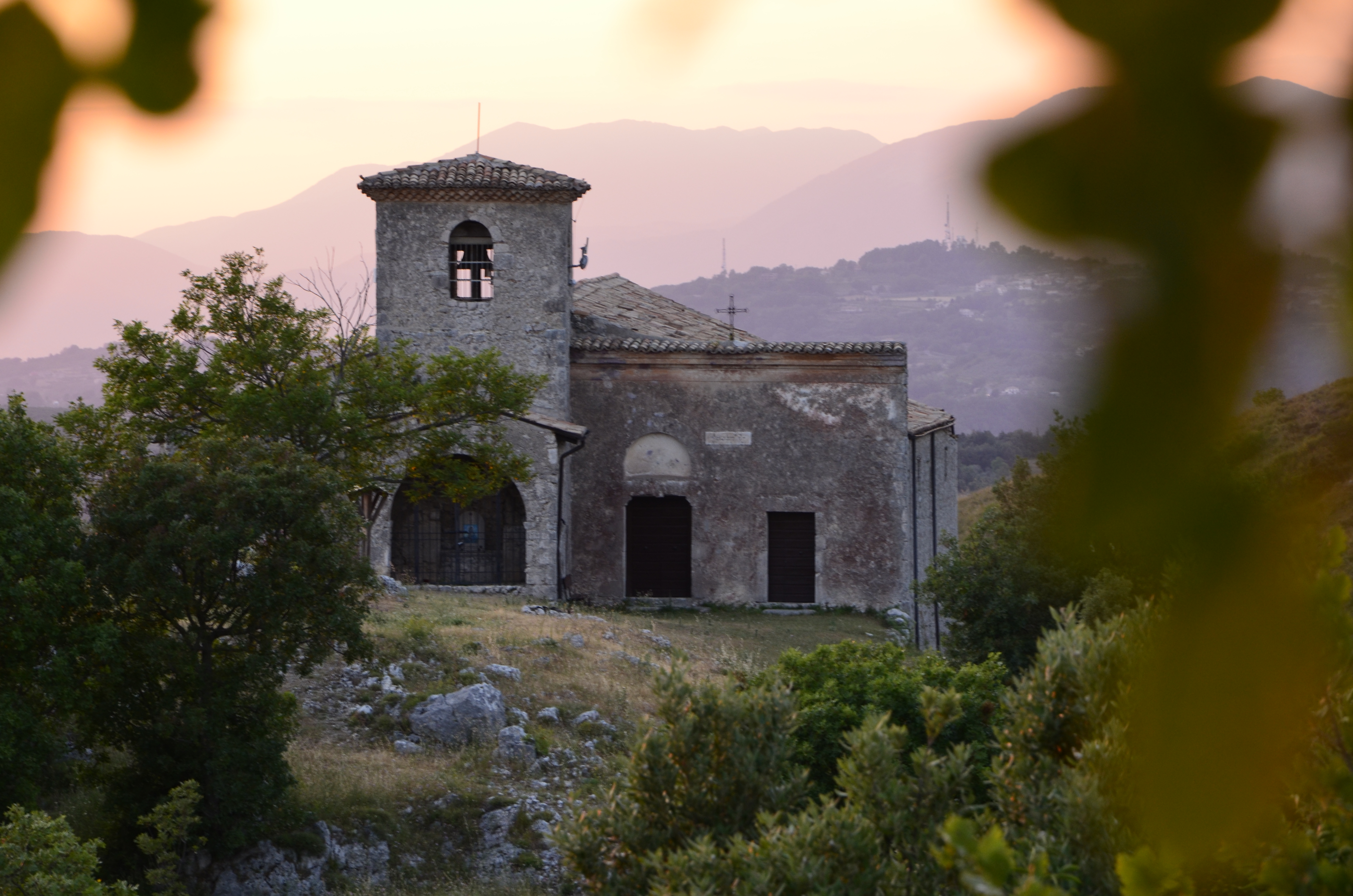
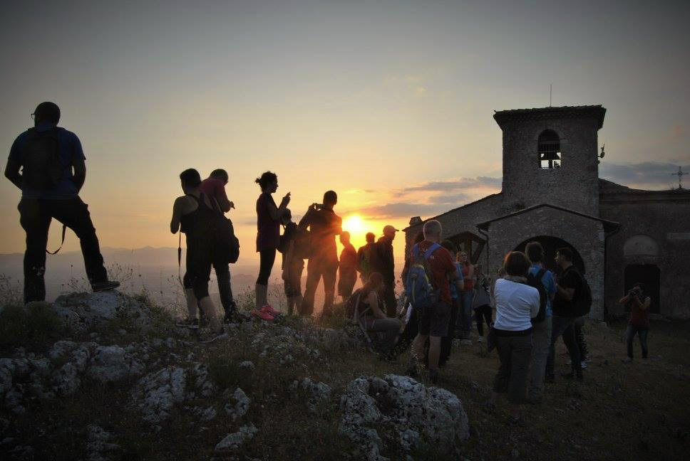
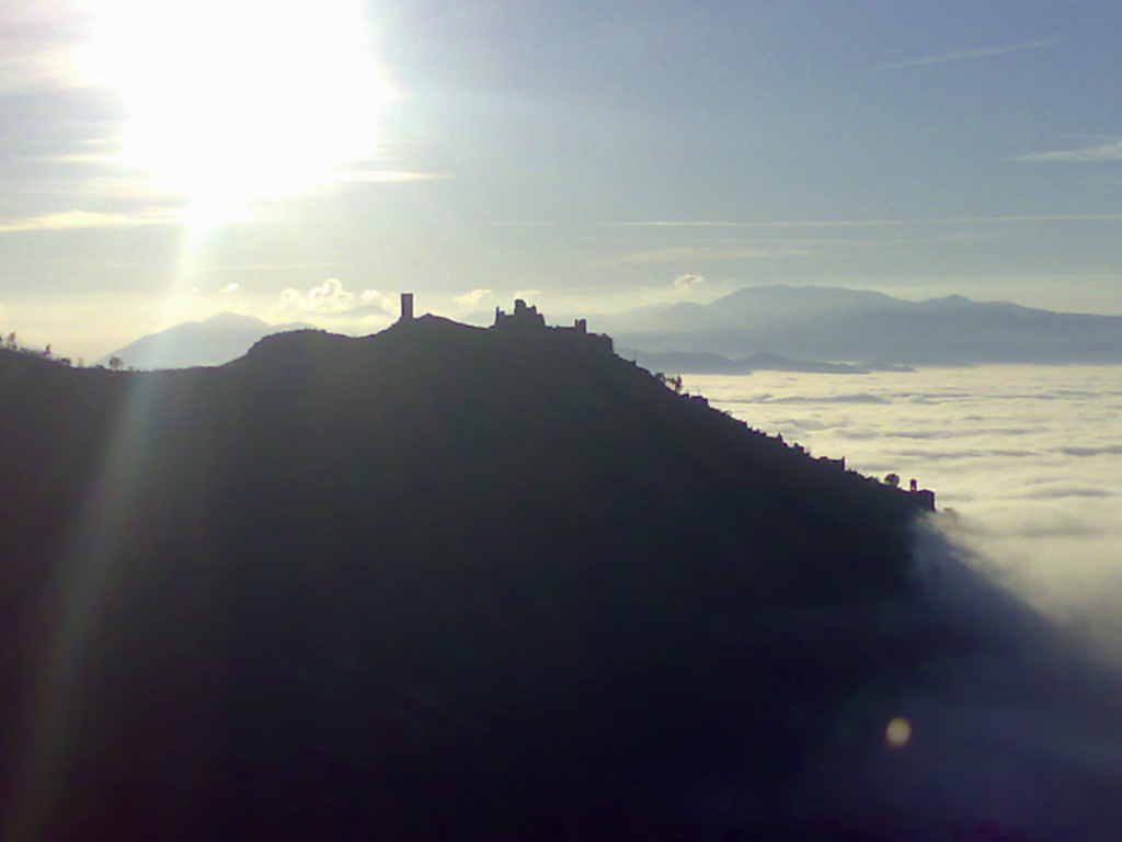
Coming from the main road from Roccasecca, yo reach the entrance of the village of Colle San Magno, you then turn right for the hamlet of Cantalupo, you cross the hamlet and follow the route, reaching first the Chapel of the pious hermit Homo Bono and then arriving to the archaeological area of the Counts of Aquino, where the Church, Tower and Castle are. The route is about 45 minutes long and it is easy, suitable for families.
Trail to the Settare site:
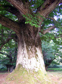
You cross the village of Colle San Magno and follow the signs for the hamlet of Scannole, once you get to the local restaurant “La Bersagliera” you turn right following the sign on the side of the road, you then reach the “Fosso Scuro” area, a cave that was used as a German military hospital during World War II, you then continue your walk by finally arriving at your destination. The route is about 1 hour 15 minutes long and you reach a maximum altitude of about 700/750 m, surrounded by beautiful century-old chestnuts. The difficulty is medium, however suitable for families who are confident hikers.
Trail to Mount Occhio:
You cross the village of Colle San Magno and follow the signs for the hamlet of Scannole, you turn left into Via Valle Savina and follow the road for about 1/1,5 km up to the old asphalt mine, where the route start is marked by a red paint sign in an open area on the left. The route is about 3 km long and is 1 hour 15 minutes/1 hour 30 minutes long; you reach a maximum altitude of about 1200 m. Average difficulty, suitable for hikers.
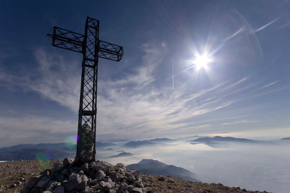
Trail to Mount Cairo:
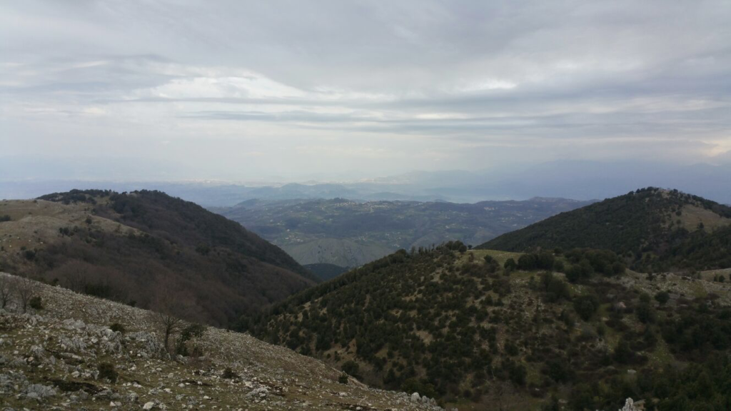
Mount Cairo is the tallest mountain at 1669 m high, it extends from the Melfa Valley to the Liri Valley. It is definitely the most beautiful mountain for an excursion. There are various routes to reach the peak, or one of its Refuges (Pozzacone, Otraturo, Casermette) from Colle San Magno, the main ones are 3. The first route starts from the Cisterna area, you get to where the road ends and then go to the left, you walk through the rocks and the beechwood reaching 1300 m where Pozzacone Refuge is (we can reach the other two Refuges, Otraturo and Casermette, from this point); in order to reach the summit, you take the route on the left side of the refuge, the route is marked with the letters AMC (Mount Cairo Ring) and it crosses another large beechwood, but you need to climb up very challenging rocks to get to the first summit at 1630 m; once at the first summit, you have another 1 km walk to reach to the cross placed at 1669 m main summit. This is the route preferred by most hikers and it takes about 2 hours 45 minute to cover it. The second route starts from the hamlet of Forma, just before an historical fountain present in the area you turn left and go up through a very steep but walkable route, you cross the area where there is a natural lake called “Culluturo” and from there you can choose whether to go to the Pozzacone Refuge or to the summit, as this route reconnects to the first one at one point. This surely is the shortest but most difficult route, only for experts, it is not marked and it takes about 2 hours 15 minutes to get to the summit. The third route is the continuation of the route to the Settare site, you continue walking and always keeping your right, at one point another route starts, crossing another magnificent beechwood, known as the “Ratiche”, you go up till the end of the beechwood, you turn right and take the AMC route (previously mentioned) in order to reach the summit. This being definitely the longest route but the easiest one as it takes about 3 hours 30 minutes to reach the summit from the Scannole site. The summit and the refuges are also reachable from the village of Terelle.